-40%
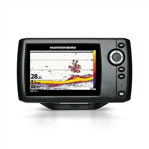
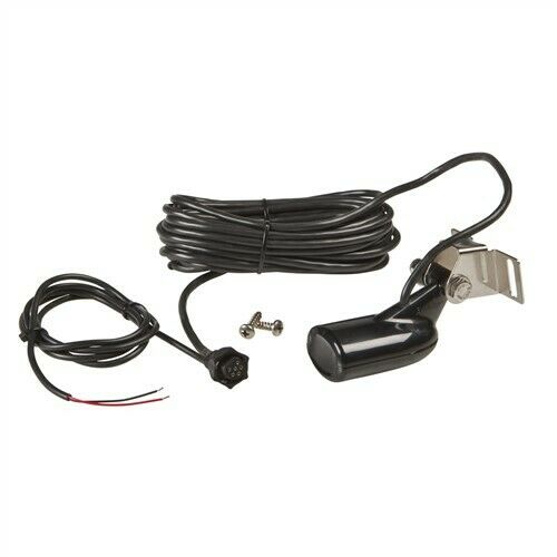
Garmin Striker 4 Fish Finder GPS Combo Depth Finder with Transducer 010-01550-00
$ 63.35
- Description
- Size Guide
Description
NEWGarmin STRIKER 4 Fish finder with 4-Pin 77/200kHz TM Transducer 010-01550-00
Manufacturer Description
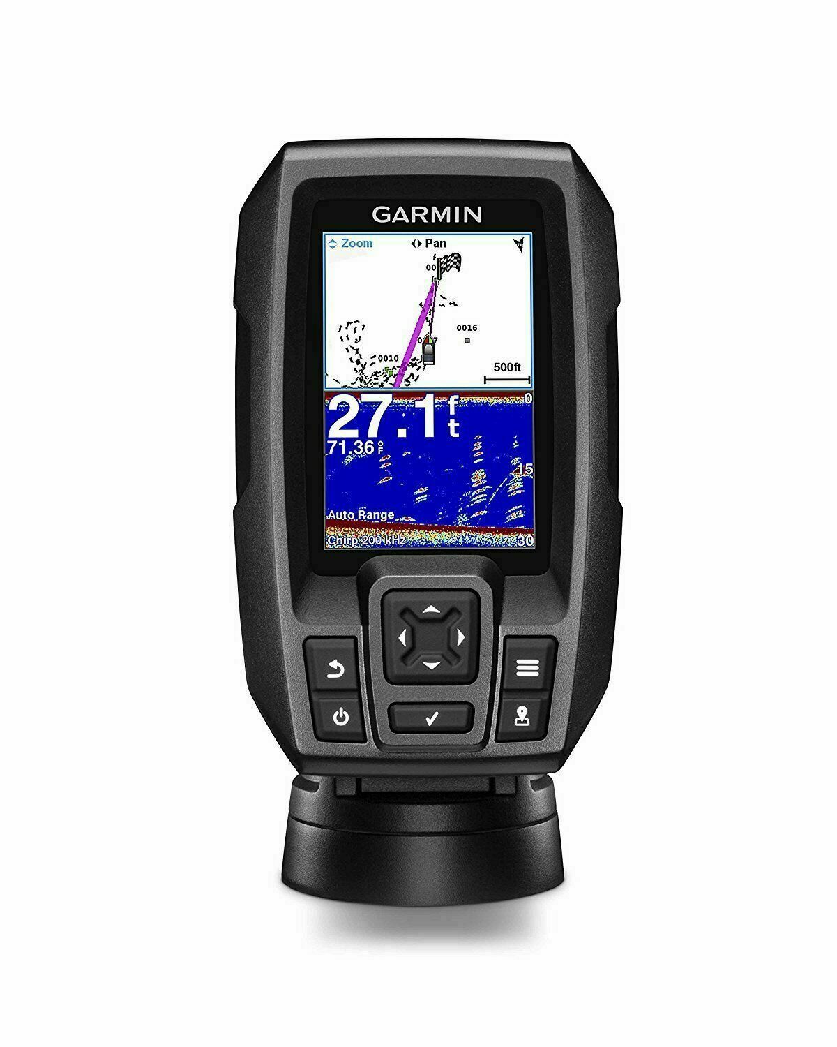
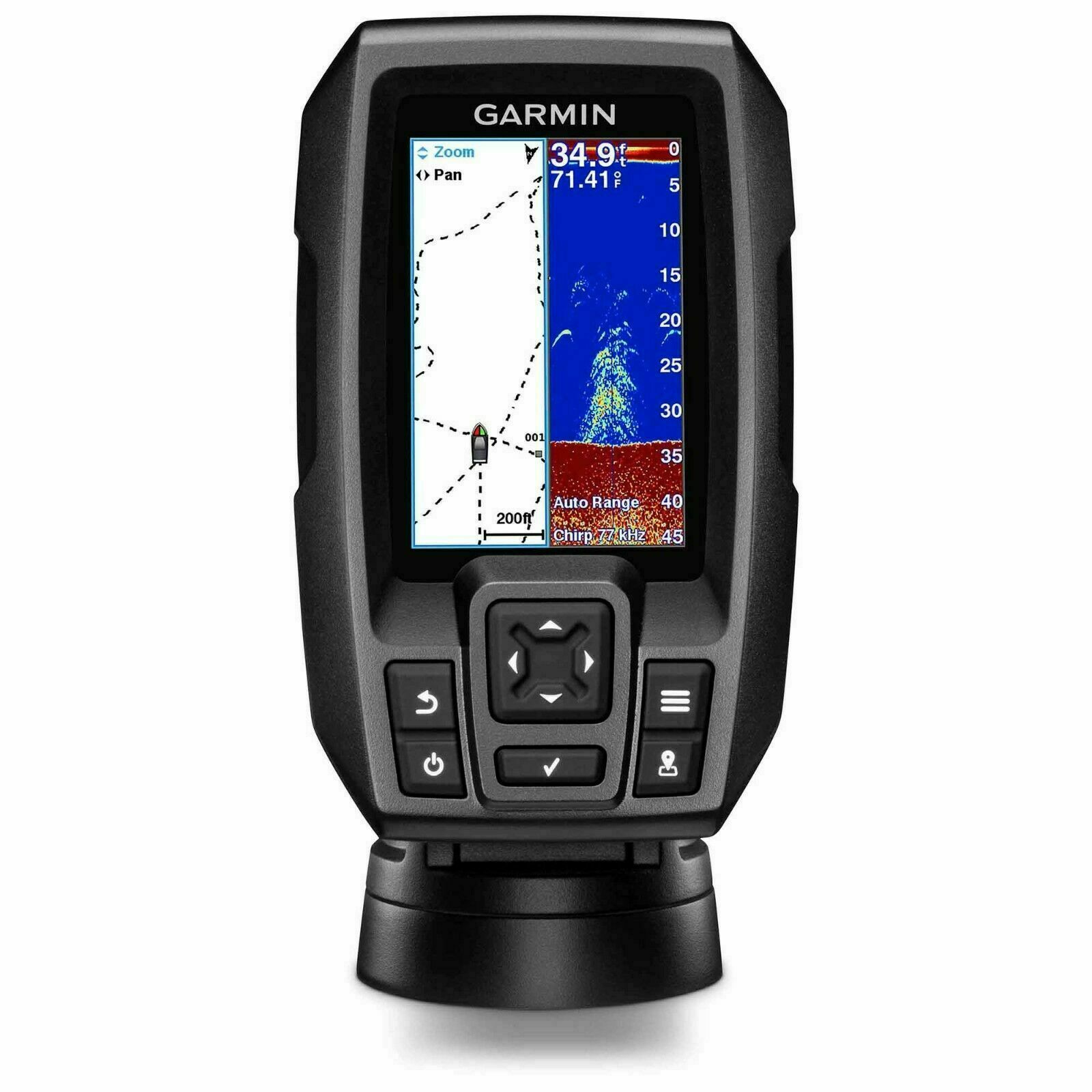
3.5-inch CHIRP Fishfinder with GPS
Easy-to-use 3.5-inch color fishfinder with built-in, high-sensitivity GPS
Find fish; mark and return to hot spots, docks and ramps
Convenient keypad operation
Includes CHIRP (77/200 kHz) sonar transducer; transmit power (200 W RMS)/(1,600 W peak-to-peak)
Upgrade to high performance CHIRP with a GT8 or GT15 transducer (each sold separately)
Finding fish is easier than ever with STRIKER 4 fishfinder. Mark and return to your hot spots, boat ramps and docks, and share your favorite waypoints and routes with other STRIKER and echoMAP™ combos. Smooth Scaling™ graphics provide uninterrupted imagery when switching between depth-range scales. Sonar history rewind allows you to scroll back through sonar images to mark waypoints you originally may have missed. Plus, it has a built-in flasher and displays speed data. Includes tilt/swivel mount, CHIRP (77/200 kHz) transducer with transom and trolling motor mounting hardware and cable. For high-performance CHIRP, purchase a GT8 or GT15 transducer (each sold separately).
Experience the Clarity of CHIRP
STRIKER 4 fishfinder includes a Garmin CHIRP (77/200 kHz) transducer, which provides a visibly higher level of clarity and detail for fish and structure than traditional 77/200 kHz transducers.
Instead of sending just 1 single frequency, CHIRP sends a continuous sweep of frequencies, ranging from low to high, then interprets them individually upon their return. Since the frequencies provide a wider range of information, CHIRP sonar technology can create crisper fish arches with greater target separation.
You also can upgrade to high-performance Garmin CHIRP technology, which provides crystal-clear sonar images with even more remarkable target separation and resolution from shallow to deeper depths. For better fishing, bottom contours are more visible, even at higher speeds, and signal noise can be suppressed at greater depths to provide a more timely interpretation of what’s below.
Mark Spots with High-sensitivity GPS
Unlike regular fishfinders, STRIKER fishfinders have built-in, high-sensitivity GPS to locate your current position quickly and precisely, then maintain your GPS location anywhere you go on the lake. More importantly, they allow you to mark spots where the fish are biting so you can return to them again in the future. You also can mark docks, boat ramps and other locations on the lake. Just follow the path created on your screen to return to them whenever you wish.
Navigate Easily with Waypoint Map
Since the STRIKER fishfinder series includes high-sensitivity GPS, you can see your position in relation to waypoints you have marked. Use the waypoint map to easily view, mark and navigate to locations such as brush piles, stumps and docks. It’s also a great tool for finding your way back to the boat ramp.
Check Your Speed on Screen
You can quickly and easily see your boat’s speed on the screen of your STRIKER fishfinder. It’s a great tool to make sure you are trolling at the right speed for the lure you’re using and for a particular fish species. It’s also a good way to tell if you are going the right speed in wake-controlled areas.
Fish Vertically with Built-in Flasher
STRIKER provides you with both a fishfinder and flasher all in 1 unit. Anytime you are stationary fishing, such as ice fishing or jigging for crappie, the built-in flasher will show you the bottom, whether it is solid or muddy, your jig or weighted bait, and the depth of fish as they swim into the sonar beam. You can even watch how high your jig is being lifted and dropped and whether fish move toward or away from it.
Take Your Fishfinder Anywhere
A portable kit is available to protect and carry your STRIKER fishfinder with GPS, so it’s perfect for kayak, canoe or ice fishing. It includes a sealed, rechargeable battery with charger, built-in transducer cable management and storage and suction cup transducer mount and float.
What's Included In The Box?
The Garmin STRIKER 4 Fishfinder with Dual Beam Transducer ships with the following items included:
STRIKER 4
Dual-beam transducer
Transom and trolling motor mounts
Tilt/swivel mount
Power cable
Documentation
Features and Tips
Here is a list of
STRIKER 4 Fishfinder with Dual Beam Transducer features
, along with a few user tips.
Physical & Performance
Unit dimensions, WxHxD 3.6'' x 5.9'' x 1.6'' (91.6 x 150.8 x 42.8 cm)
Display size, WxH 1.9'' x 2.9'' (4.9 x 7.3 cm); 3.5'' diag, (8.7 cm)
Display resolution, WxH 480 x 320 pixels
Display type HVGA color
Weight 8.1 oz (230g)
Water rating IPX7
Audible Alarms Yes
Sonar Features & Specifications
Dual-frequency (50/200 kHz) sonar capable Yes
Dual-beam (77/200 kHz) sonar capable Yes
Frequencies supported Traditional: 50/77/200 kHz, CHIRP (mid and high)
Transmit power 200 W (RMS)
Maximum depth 1,600 ft freshwater*, 750 ft saltwater*
Bottom lock (shows return from the bottom up) Yes
Water temperature log and graph Yes
Fishfinder Features
Split-screen zoom Yes
Ultrascroll® (displays fish targets at higher boat speeds) Yes
Fish Symbol ID (helps identify fish targets) Yes
AutoGain Technology (minimizes clutter, maximizes targets) Yes
Adjustable depth line (measures depth of underwater objects) Yes
A-scope (real time display of fish passing through transducer beam) Yes
Water temperature sensor included Yes
Additional
Titl/swivel mount
Integrated GPS
Mark Waypoints
Course over Ground (COG)
